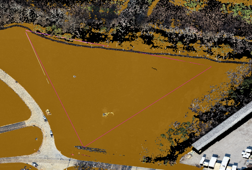
Hello TBC’ers! The “Drape Geometry on Point Cloud” command has been a popular command since its release in TBC v.5.90. Using this feature, users are able to elevate the vertices of CAD lines to points in a point cloud. We are happy to announce that with the release of TBC v.2023.10 the “Drape Geometry on Point Cloud'' feature is getting a set of enhancements! This update includes features such as:
-
In addition to lines, you can now select to elevate one or more CAD points to the point cloud using all of the available search strategies.
-
Apply a specified horizontal offset to CAD linear objects during the elevation process.
-
Select to automatically create points for CAD linear objects when the interval between nodes on the polyline exceeds a specified distance.
-
Select to elevate GNSS and Mobile Mapping trajectories.
Follow these steps to complete the workflow.
-
Either through the “Point Clouds” tab or using the F12 search function open the “Drape Geometry on Point Cloud” command pane (1A).
-
Click the “CAD Objects Selection” field and select the CAD lines in the pane or 3D view that you want draped (2A).
-
Click in the “Point Cloud Selection” field and select the point cloud regions you want to drape the CAD lines on (3A).
-
In the “Search Strategy” section, choose your desired elevation change option (4A) and the search distance (4B). This section determines the elevation change applied to the CAD line within the specified search distance. These strategies include:
-
Minimum Elevation (default)
-
Low average elevation
-
Average elevation
-
Median Elevation
-
High Average Elevation
-
Maximum Elevation
-
For CAD lines only, the user can define a horizontal offset (5A) using both distance and direction).
-
For CAD lines only, extra points can be added when the interval between two consecutive nodes exceeds a certain distance (6A).
-
Next, select “Interpolate for missing elevations for line” to interpolate missing values in the CAD line (7A).
-
Select which layer to assign the computed CAD line (8A), and select if you want the existing CAD lines to be deleted. With the desired parameters selected, click apply at the bottom of the pane.


You're all set! Maximize your TBC experience and ensure smooth workflows by utilizing learning & support material most aligned with your needs and personal preferences.
To download the latest version of TBC, you can head to https://trimble.com/downloadTBC.
Complete free self-paced workflow-based courses with hands-on guided software experiences on Learn.Trimble: https://learn.trimble.com/pages/422/trimble-business-center-tbc
For additional learning content, visit our TBC Survey and Construction YouTube page:
https://www.youtube.com/user/TBCSurvey/videos