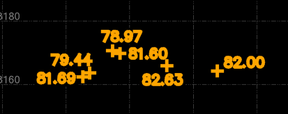
In this file the text is not part of the block. so you have a block to show the location and a piece of text to display the elevation. In this case, both the blocks and the text is on the same layer. Just use the "CreatePointsFromSpotElevations" command. I think that this does exactly what you want.
Please note that this file has some areas where the "nearest" text is not the correct one. You will need to check the points elevation in these areas. If needed, just use properties on the points and then select the correct text object for the elevation.