Trimble Business Center

 View Only
Expand all | Collapse all

TBC - Applying measured rounds to adjust point coordinates?

  • 1.  TBC - Applying measured rounds to adjust point coordinates?

    Posted 12-24-2019 11:06

    I have measured rounds on several control points that could not be observed via GNSS in attempt to resolve their location. After downloading the data the angles show up under the points in the project explorer, and are labeled as 'enabled', but no adjustment to the points coordinates have been made. I have been looking at the possibilities of either using the traverse adjustment tool to adjust small triangle traverses between three points at a time, but this doesn't give me the adjustment I am really looking for. The other option I have looked at is network adjustment. I believe I would have to exclude all the other points on my job(topo and other control) to make the network exclusive to these points which rounds were measured on. Is this correct?


    Are these the normal ways this data is implemented? How would I go about using my turned angles to adjust the location of my points? Thanks for any help you can give. 


  • 2.  Re: TBC - Applying measured rounds to adjust point coordinates?

    Posted 01-02-2020 14:18

    I would start by looking at the Point Derivation Report for the points you turned rounds too.  This should tell you what observations or perhaps keyed in coordinates the software is using to compute the point position.  From there you might just need to disable the observations that are currently being used to compute the points.


  • 3.  Re: TBC - Applying measured rounds to adjust point coordinates?

    Posted 01-05-2020 16:44

    Try the Network Adjustment, with all your data, provided you have enough observations to other control points. If you are observing to points you've located already, make sure you use "store another" instead of using a different point name.  TBC is a powerful program, where you can continually be readjusting the Network Adjustment if you add more observations, more redundant observations.


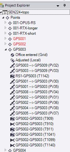
    A couple of years ago I used TBC to first adjust control points, then just bring in topo and monument locations. Now I keep re-doing the network adjustment, using multiple types of observed data, and TBC loves it all.  It is a powerful, complex program so you need to know what it has and what it's using.  The Project Explorer is a great venue for observations that TBC has.  For instance, brining in different JOB files that may have different coordinate values for a control point may clog up an adjustment if they aren't cleared out.