Is there any way to import utility nodes if provided xyz data, or is a manual entry for each node & rim/invert elevation the only way that we can bring this data into the utility network?
We can bring in 3D linework associated with a network from the designer and although we can snap to each xyz location of the node, we must then manually snap to each node in the network and input the rim & invert elevations by hand.
It would be useful to have a way to import an entire network of nodes at known XYZ coordinates (rim elevation, perhaps). We could then re-build the network by 'connecting the nodes' with manual entry of invert elevations and site improvements for each node and pipe run.
Logan
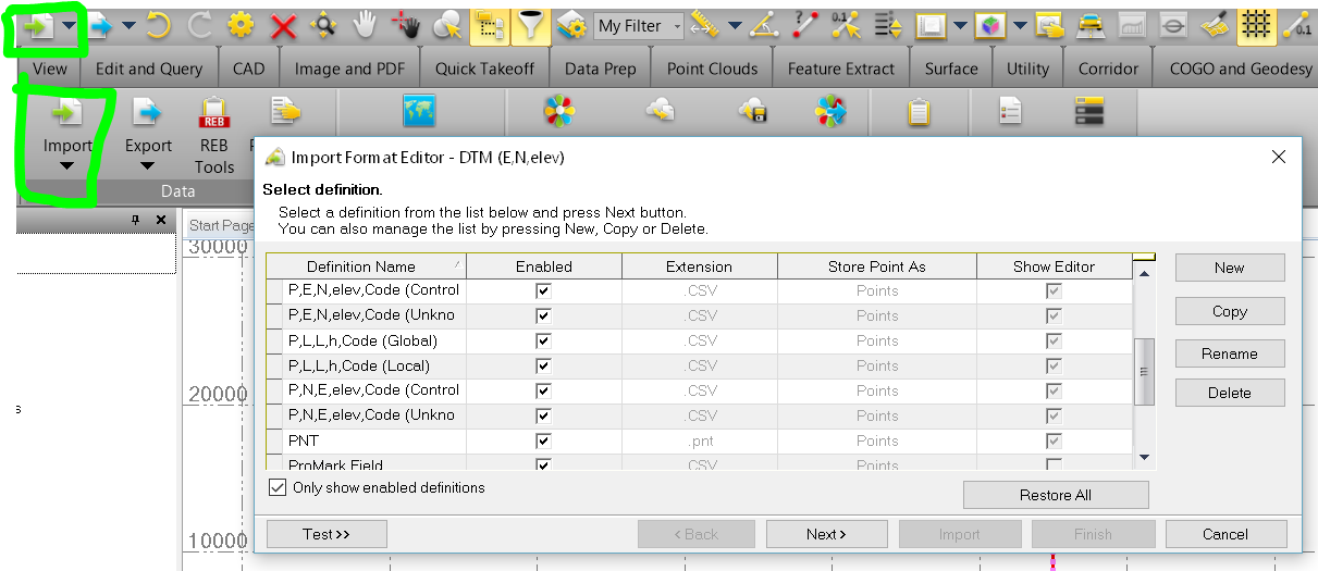
You can Import points. Typically we use CSV, but you can customize your Importer to use ASC, PTS, TXT.....
You will typically use P,N,E, elev, Code (Unknown) or P,E,N,elev Code (Unknown) for layout points.
Thanks for the response Tim!
I know you can import points... but I'm looking for a way to import these points as Utility Nodes. I can import the points but still have to manually input each Utility Node by snapping to each point. It would be useful to be able to create a Utility Network, and import a bunch of points as Utility Nodes, if that makes sense. Don't see a way to be able to do that. Thanks!
Logan,
Yep. Unless you have an XML with the network data you have to build it. Import as Structures would be useful.
This is the case today - your feedback is good and needed - so thanks for that and keep it coming.
LandXML from a third party containing Utility data can assist to make this faster.
Also if you have 3D Lines that represent the utilities and you use Ceate Utility Line to convert the line to a Utility, it will add Nodes at both ends - however you till have to add the Rim and Invert elevation for the Structures - so not a great deal faster.
Alan