I had a look at the data you sent me.
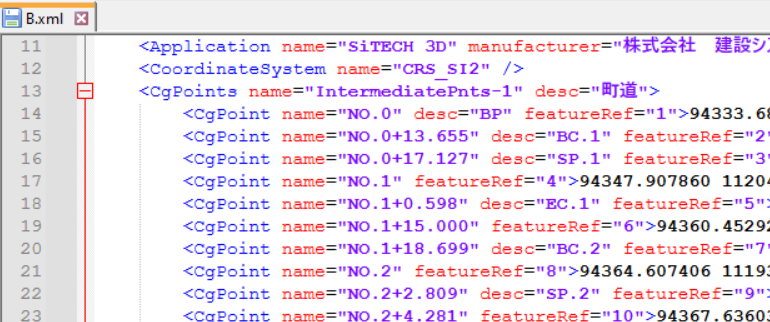
Those points are not calculated by TBC, they are included as single coordinates in the XML, highlighting the start/end of the different geometry types of the alignment, i.e. straight/curve etc. They are not connected to anything, pure additional information. http://www.landxml.org/schema/landxml-1.2/documentation/LandXML-1.2Doc_CgPoint.html
There is no option to exclude parts of the XML data, hence TBC will load them. But it creates a "Selection Set" for them, so you can easily select and delete them.

That file B, that does have those points, also includes a full triangulated and independent surface. That surface will not change when you change the corridor templates.
For file B you'll have to right click on the corridor and create a corridor surface manually again.
So, bottom line, you should export the XML as you did for file A. That one doesn't have the points included and does create a dependent corridor surface straight away.