Hi all,
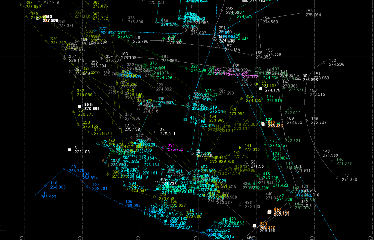
Does anyone have an idea why all my line features joined to the wrong points after transforming my local point data to geodetic?
It doesn't seem to matter if I process feature codes prior to transforming or after, they always end up jumbled like this. Notably everything comes in perfectly if I process feature codes prior to transforming, but when everyhting shifts it regenerates like this: