Trimble Business Center

 View Only

 Marking the delta elevation of a line

Gregory Vanderstraeten's profile image
Gregory Vanderstraeten posted 09-22-2025 05:55

Hi,

For a current project I would like to make the delta elevation (max elevation - min elevation) of a linestring in TBC.

With the label style manager you have a lot of options like line lenght, azimuth for cadastral purpose. 

Mine is rather specific to show the difference between a surveyed point and theoretical point on a BIM object. 

Could someone help me? Do i need to do some coding?

Ronny Schneider's profile image
Ronny Schneider

If you say "theoretical" point on BIM object I assume you mean perpendicular to it. That's nothing you can do out of the box.

You can try my "SCR_PerpDistToDTM" from my GitHub repo (https://github.com/RonnySchneider/SCR_Macros_Public), that works with surfaces and BIM . Minimum license you need to run Macros is "Survey Advanced".

Gregory Vanderstraeten's profile image
Gregory Vanderstraeten

Hi Ronny,

Thanks for you answer.

I don't it's that complex. I draw a theoretical line from the surveyed point to the theoretical point. So there is a line and I just want to show the elevation difference between start point and end point of that line. 

Ronny Schneider's profile image
Ronny Schneider

Wouldn't know a way how to do even this simple thing out of the box. The smart text's don't have a code for line start/end elevation.

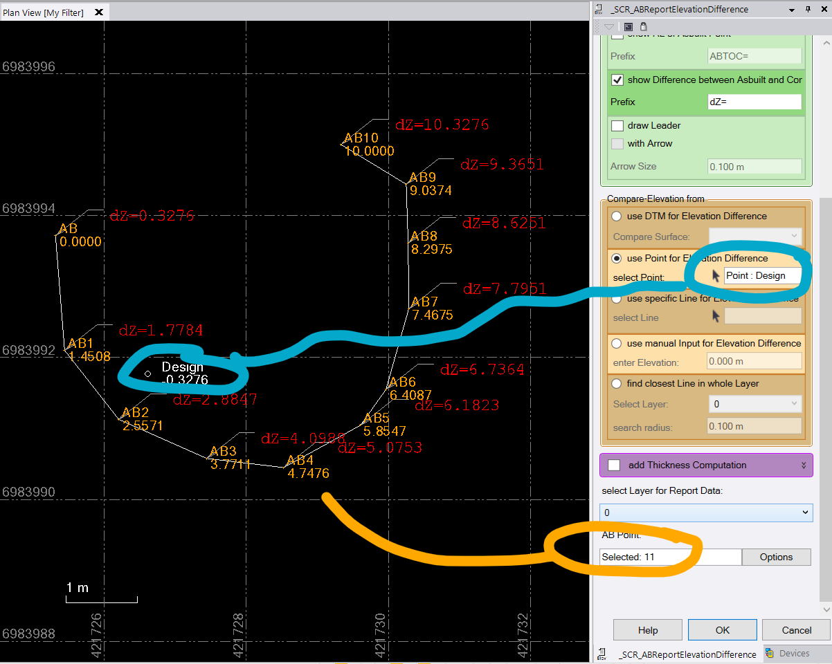
Usually my demands are even higher, so I wrote me a macro for this kind of stuff. Doesn't need the line, just a design point and at least 1 as-built point.

Naturally it only creates normal text's which won't change if you change one of the points.

Francisco Guerrero's profile image
Francisco Guerrero

Are you able to add elevation to a point from the BIM?  OR even create a surface from the BIM?   

Could make those surface points into a surface and then compare it to the BIM.

Gregory Vanderstraeten's profile image
Gregory Vanderstraeten

Hi Ronny,

Your reporting tool worked like a charm! Brilliant.

Thanks a lot for the swift reply and your help. This does what I need.

Just would like to change dZ with just the Z= as text style but I assume I can find this in python coding.

Ronny Schneider's profile image
Ronny Schneider

Just change it in the green input field, where the tick box for Elevation difference is.