Hello everyoneI have been trying for some time now how I can select GNSS measured (RTK) points and then export them to a CSV file.The goal would be to select these points with a few clicks.I import the data as a JOB (from TA). These are mixed, total station, GNSS, scan data).Does anyone know how these points can be easily selected?By the way, the measurements in TA were made with the position setting, i.e. not vectors.Best regardsMattias
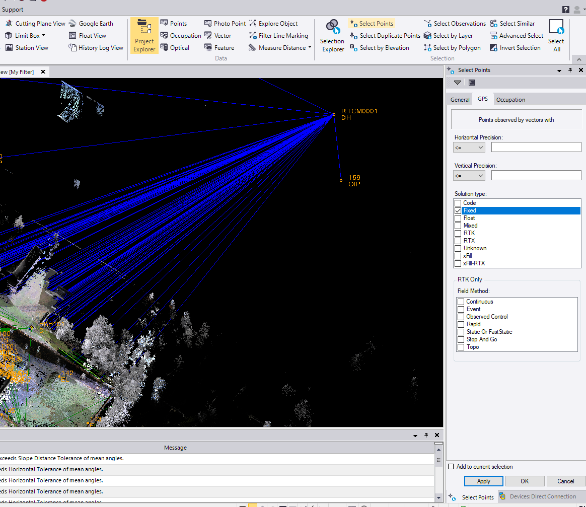
did you try, select points/fixed, not sure because you are using the position button, but i would think something in here would find them quickly:
Hi IanThanks for your answer. With the "RTK" checkbox activated, it worked. Thank you very much!Best regardsMattias